The sky might look open and limitless, but for aviation professionals, it’s one of the most organized and carefully managed environments on Earth. Every commercial flight, private aircraft, and training flight operates within an invisible structure called “airspace classification”.
Just as roads are divided into highways, city streets, and rural routes, the sky is divided into classes of airspace, each with specific rules and levels of control. These divisions ensure safety, efficiency, and coordination among all aircraft — whether flying across continents or around a small regional airport.
In this article, we explore the logic behind airspace classes, their different types, their importance, and how Somalia’s airspace is gradually evolving from uncontrolled Class G to controlled Class A — a major milestone in the country’s aviation modernization.
Table of Contents
Why Are Airspace Classes Created?
Airspace classes were created to bring structure, order, and predictability to the sky. In the early days of aviation, as aircraft began to fly higher and faster, it became clear that pilots needed a standard way to know who controls what area, and how to operate safely within it.
Each class defines:
- The level of air traffic control (ATC) service available,
- The communication and equipment requirements, and
- Who can enter and under what conditions.
Without this structure, aircraft would risk flying into one another’s paths, especially in busy skies near airports.
By clearly defining the rules for altitude, communication, and visibility, airspace classes help:
- Keep aircraft separated safely,
- Organize air traffic flows, and
- Ensure smooth coordination between pilots and controllers.
In simple terms, airspace classification brings order to the sky, just like traffic rules bring order to city roads.
The Seven Airspace Classes (A to G)
The International Civil Aviation Organization (ICAO) divides airspace into seven main classes — from Class A (most controlled) to Class G (uncontrolled). While ICAO sets the framework, each country adjusts the details to match its air traffic volume, geography, and resources.
Let’s look at each class in simple terms.
Class A – The Highways of the Sky
Class A airspace covers the upper levels of the atmosphere, typically from 18,000 feet up to 60,000 feet (FL600) in places like the United States and Europe.
Only Instrument Flight Rules (IFR) flights are allowed here. Pilots must receive ATC clearance, maintain constant communication, and operate with certified transponders and navigation systems.
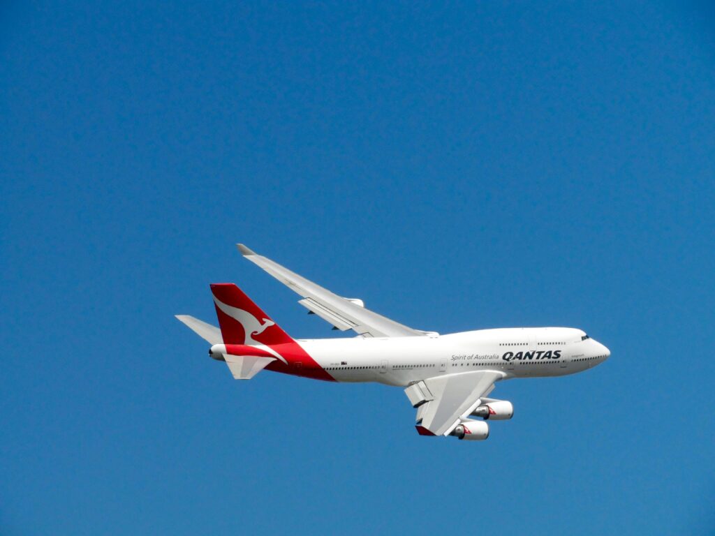
This is where commercial airliners and long-haul flights operate — the most structured and safest part of the airspace system. Every movement is monitored by air traffic controllers to ensure maximum separation and efficiency.

Class B – The Busiest Airport Zones
Class B airspace surrounds the world’s busiest airports, such as London Heathrow, Dubai International, or New York JFK.
It usually extends from the surface up to 10,000 feet. Both IFR and VFR (Visual Flight Rules) flights are permitted, but all pilots must obtain ATC clearance before entering.
Think of it as a “high-security zone” where strict rules protect the high volume of arrivals and departures. Every movement is closely coordinated to avoid congestion or conflict.
Class C – Regional Airport Control
Class C covers medium-sized airports that handle both commercial and private traffic. It extends from the surface to about 4,000 feet above the airport elevation.
Here, communication with ATC is mandatory. Controllers separate IFR aircraft and give traffic advisories to VFR pilots to ensure everyone is aware of nearby activity.
This airspace helps manage traffic safely while allowing flexibility for smaller aircraft and training operations.
Class D – Smaller Controlled Airports
Class D surrounds smaller airports with control towers, often used by flight schools, regional operators, and charter services. It typically extends from the surface up to 2,500 feet.
While not as busy as Class B or C, communication with the control tower remains essential. This class plays an important role in developing local aviation skills and supporting regional connectivity.
Class E – Controlled but Flexible
Class E is a mixed-use or transitional airspace. It starts either at the surface or a specific altitude (often 700 or 1,200 feet) and extends up to the base of Class A.
Here, IFR flights are controlled by ATC, while VFR pilots can operate freely, provided they maintain visibility and comply with standard rules.
This class strikes a balance between safety and accessibility, supporting both commercial and general aviation operations.
Class F – Special Purpose Airspace
Not every country uses Class F. Where it exists, it is reserved for special operations, such as military exercises, research missions, or glider activity.
It can be controlled or uncontrolled, depending on national needs. This flexibility allows states to allocate dedicated airspace for unique activities without affecting civilian routes.

Class G – Uncontrolled Airspace
Class G is the least controlled and most flexible airspace.
Here, pilots are fully responsible for maintaining visual separation from other aircraft, as ATC services are not provided.
It usually extends from the surface up to the base of Class E and is common in rural or developing areas where radar coverage and infrastructure are limited.
Even though there is no active control, pilots must still follow basic rules for visibility, altitude, and communication to ensure safety.
International Standards and National Adaptation
The ICAO classification system ensures global consistency, allowing international pilots to operate safely across borders.
However, each country can adapt the system to match its own conditions.
For example:
- The United States and Canada use all seven classes (A–G).
- Many countries in Africa and Europe do not use Class F.
- The altitude limits and procedures can differ slightly by region.
This flexibility allows every nation to design airspace logically according to its geography, traffic patterns, and available resources — while maintaining global harmony.
https://atpflightschool.com/become-a-pilot/flight-training/airspace-classes.html
Somali Airspace: From Class G to Class A
Somalia’s airspace story is one of transformation and national pride.
For many years, due to conflict and limited infrastructure, much of Somalia’s airspace was uncontrolled (Class G). Radar systems, communication networks, and trained personnel were minimal. As a result, ICAO temporarily managed the airspace on behalf of Somalia.
However, following the re-establishment of the Somali Civil Aviation Authority (SCAA) and the transfer of control back to Somalia in 2018, the country has made remarkable progress.
Today, the Mogadishu Flight Information Region (FIR) — covering both Somali land and parts of the Indian Ocean — is being gradually modernized:
- Low-level airspace remains mostly Class G (uncontrolled),
- Mid-level airspace transitions to Classes E and D near airports, and
- High-level airspace (above approximately 24,500 feet) is now Class A controlled.
This marks a new chapter for Somali aviation — where the country not only manages its own skies but also builds a foundation for safety, sovereignty, and sustainable growth.
The Backbone of Airspace Control: CNS and AIS Systems
Behind every well-managed airspace are strong technical systems, commonly known as CNS (Communication, Navigation, and Surveillance) and AIS (Aeronautical Information Services).
Communication between pilots and controllers ensures everyone knows who is flying, where they are, and what they are doing. In remote or oceanic areas, satellite communication systems complement radio frequencies.
Modern navigation relies on satellite-based systems like GPS and traditional aids such as VOR (VHF Omnidirectional Range). These help aircraft follow precise routes, even in challenging environments like Somalia’s vast desert and coastal regions.
Surveillance systems like radar and ADS-B (Automatic Dependent Surveillance–Broadcast) allow controllers to monitor aircraft in real time. This ensures proper separation and enhances situational awareness.
Aeronautical Information Services (AIS)
AIS provides critical data that keeps operations safe and efficient. These include:
- Aeronautical Information Publications (AIPs) – official descriptions of airspace, routes, and procedures,
- NOTAMs – notices to airmen about temporary hazards or changes,
- Weather information, and
- Flight planning assistance.
Together, CNS and AIS form the **technical backbone** of modern airspace management.
Human Resources: The Heart of Airspace Management
Technology can only go so far — it’s people who make the skies truly safe.
Behind every radar screen is an air traffic controller, an engineer, or an AIS officer making critical real-time decisions. Their skills, judgment, and professionalism are what keep aircraft moving smoothly and safely.
Institutions like the Sky Aviation Consulting Centre (SACC) play a vital role in this transformation. Through training, consultancy, and capacity-building programs, Sky Aviation equips young Somalis with the knowledge and confidence to manage modern air traffic operations effectively.
By training more local controllers, engineers, and aviation managers, Somalia is preparing for a safer and more independent aviation future.
Why Airspace Classification Matters
A well-classified and effectively managed airspace system offers many benefits:
- Safety – Reduces the risk of mid-air collisions and improves overall flight discipline.
- Efficiency – Ensures smoother routes, fewer delays, and lower fuel consumption.
- Flexibility – Allows commercial, private, humanitarian, and military flights to operate safely together.
- Global Recognition – Demonstrates compliance with ICAO standards, increasing trust from international airlines.
- Economic Growth – Controlled airspace generates revenue, attracts investment, and boosts tourism.
Conclusion
Airspace classification might seem like a technical topic, but it represents one of humanity’s greatest achievements — the ability to bring order to the invisible highways of the sky.
From Class G’s open freedom to Class A’s precise control, every layer reflects the balance between freedom and safety, technology and human expertise.
Call to Action
The evolution of Somalia’s airspace shows how far the nation has come — and how much more can be achieved through collaboration, training, and innovation.
At Sky Aviation Consulting Centre, our experts are committed to supporting this journey. With decades of aviation experience, we provide specialized training, consultancy, and capacity-building services to civil aviation authorities, airlines, airports, and aviation professionals across Somalia and beyond.
If you are an aspiring aviation professional, policymaker, or organization looking to strengthen your capabilities in airspace management, safety, or regulation, connect with our experts today. Together, we can continue shaping safe, efficient, and modern skies for Somalia and the entire region.